Menu options listed under Land direct you to specific information about land in Plain Township.
Beginning Land Records
Prior to 1800 the land that became the State of Ohio was a wilderness with few rules of organization. The United States was expanding after the end of the American Revolutionary War. The wilderness land which was adjacent to one of the thirteen colonies was among the first land to be organized for settlement. In order to open the land for purchase by individuals it had to be surveyed so that buyers could find the land they purchased. There were a number of major surveys of Ohio territory. While basic rules of surveying were likely followed—there would be interpretations, errors, and unusual situations which may have led to different organization of land records in different sections of Ohio. If you are researching in areas other than Stark County, take time to understand rules for that area’s land organization.
Stark County 1806-1809
Stark County was established in 1806. This meant that the boundaries were created and surveying done to prepare for organized settlement. This took time, of course, and in 1809 Stark County was officially organized and ready legally to do business.
One organizational creation was dividing Stark County into townships. Each township was approximately a six-mile square resulting in a land division of 36 square miles. This was accomplished by making grid lines over a map of Stark County. The vertical lines created the “Ranges” and the horizontal lines were called “Townships.” (This is not to be confused with the townships created.)
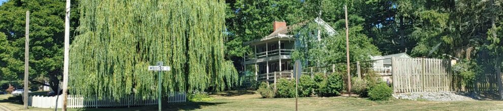
Boundaries of Plain Township
Historically Plain Township was created as a six-mile square. Annexations by the Cities of Canton and North Canton have altered the square, but historic records for land that was originally in Plain Township continue to exist. The Plain Township Historical Society uses the historic square of Plain Township to define the area we serve and research. The following boundaries are the historic edges of Plain Township and do not take into consideration land which has been annexed.
The northern boundary of Plain Township is a line using Mt. Pleasant Street as a base. This separates Plain and Lake Townships.
The southern boundary is a line which passes on 17th Street NE or NW—this is now in the City of Canton. Historic Plain Township reached much further into Canton than it does today. If your research is in that area you need to use Plain Township maps and histories.
Whipple Avenue NW is the western boundary of Plain. It is shared with Jackson Township.
A line using Bentler Avenue NE as a segment forms the eastern boundary with Nimishillen Township.